Guillaume Touya
Senior researcher in GI Science, geovisualization, and map generalization.
Member of the MEIG research team, PI of the LostInZoom ERC project
Directeur de recherche IGN en sciences de l'information géographique, géovisualisation, et généralisation cartographique.
Membre de l'équipe MEIG, porteur du projet ERC LostInZoom
Research Interests
Sujets de recherche
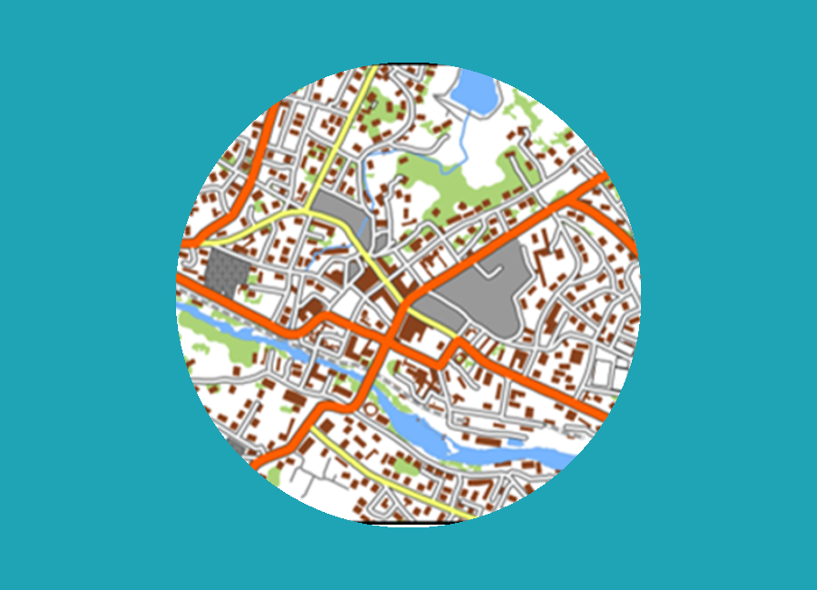

Interactions in multi-scale maps
Interactions dans les cartes multi-échelles
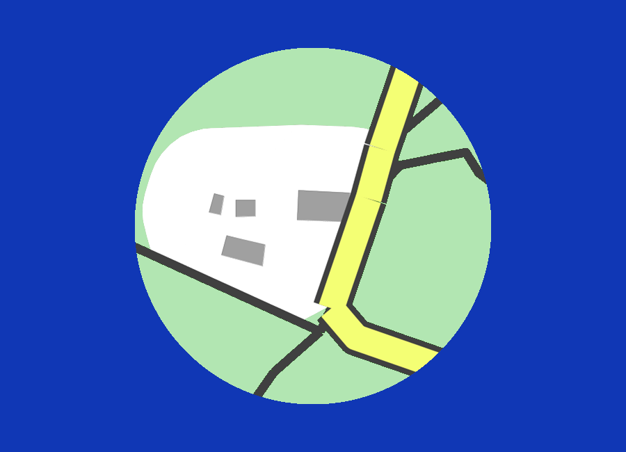
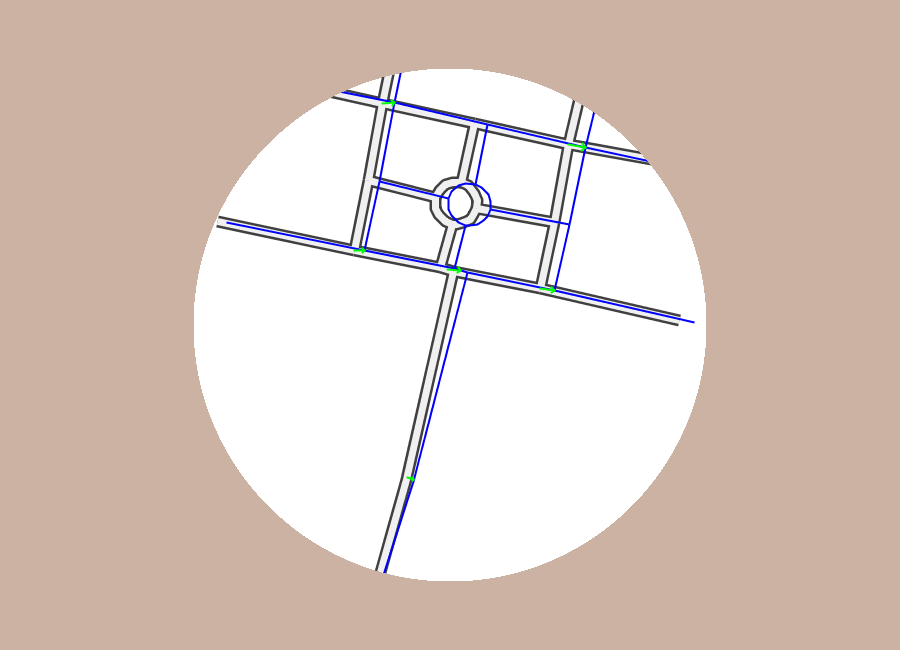
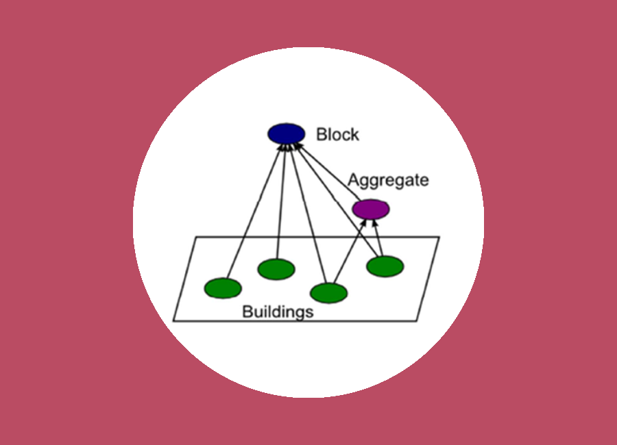
Automated cartography: text placement, schematization, conflation
Cartographie automatique: placement de texte, schématisation, recalage géométrique
News
Actualités
Newsfeed
Fil d'infos
Experience
Past jobs and roles in research
-
10-09-2004
Research assistant
I start working at IGN France as a research assistant in the COGIT research team, assisting Cécile Duchêne and Anne Ruas on map generalisation.
-
01-01-2008
PhD student
My PhD, obtained in June 2011, was supervised by Cécile Duchêne and Anne Ruas, and dealt with collaborative map generalisation.
-
01-07-2011
Senior researcher at COGIT research team, IGN
After my PhD, I become a senior researcher, still in COGIT team, at IGN France. I'm part of the group on automated cartography and geovisualization.
-
04-05-2017
Habilitation defense
Defense of my habilitation (HDR) in GI science, which allows in France to be the main supervisor of PhD students.
-
15-07-2017
Head of COGIT research team
I take over the leadership if the COGIT research team from Sébastien Mustière.
-
01-09-2018
Vice-head of LASTIG lab
I become the vice-head of the new LASTIG lab.
-
01-04-2021
LostInZoom project
With the start of the LostInZoom. project, I become the fulltime Principal Investigator of the project.
Education
Université Paris-Est
Paris-Est University
Université Paris-Est
Paris-Est University
ENSG
Université Paris-Est
Paris-Est University
Publications
Invited Talks
Projects
Other research activities
DeepMapGen
Open source Python library for deep learning based map generalization.
CartAGen4Py
Python port of the CartAGen library for map generalization.
- Chair of the ICA commission on Map Generalisation and Multiple Representation since Jul. 2017
- Chair de la commission ACI sur la généralisation cartographique et la représentation multiple depuis Jul. 2017
- Research fellow in the CRENAU research team from AAU lab in Nantes since 2021.
- Chercheur associé à l'équipe CRENAU de l'UMR AAU (ENSA Nantes, CNRS, Centrale Nantes) à Nantes depuis 2021.
- Co-chair of the GDR MAGIS CNRS commission on crowdsourcing and VGI (2017-2021)
- Co-chair de l'action prospective sur les données géographiques volontaires du GDR MAGIS CNRS (2017-2021)
- Member of the editorial board of the Journal of Cartography and Geographical Information Science (CaGIS, Taylor & Francis) (2020-...)
- Membre du comité éditorial du Journal of Cartography and Geographical Information Science (CaGIS, Taylor & Francis) (2020-...)
- Member of the COST Network ENERGIC IC1203 (MC member, 2013-2016)
- Membre du réseau COST ENERGIC IC1203 (MC member, 2013-2016)
- Member of the COST Network Mapping and the citizen sensor TD1202 (2013-2016)
- Membre du réseau COST Mapping and the citizen sensor TD1202 (2013-2016)
- Jean-François Girres (Post-doc, 2012-2013)
- Jean-François Girres (Post-doc, 2012-2013)
- Adrien Maudet (PhD, 2016), co-supervised with Cécile Duchêne (LASTIG) and Sébastien Picault (CRISTAL, Lille)
- Adrien Maudet (PhD, 2016), encadrant, thèse dirigée par Cécile Duchêne (LASTIG) et Sébastien Picault (CRISTAL, Lille)
- Jérémie Ory (Post-doc, 2017-2018)
- Jérémie Ory (Post-doc, 2017-2018)
- Marion Dumont (PhD, 2018), co-supervised with Cécile Duchêne (LASTIG), PhD award 2019 from MAGIS CNRS
- Marion Dumont (PhD, 2018), co-dirigée avec Cécile Duchêne (LASTIG), prix de thèse MAGIS CNRS 2019
- Quy Thy Truong (PhD, 2020), co-supervised with Cyril de Runz (LIFAT, Tours)
- Quy Thy Truong (PhD, 2020), co-dirigée avec Cyril de Runz (LIFAT, Tours)
- Azelle Courtial (PhD, 2023), co-supervised with Xiang Zhang (Wuhan University, China)
- Azelle Courtial (PhD, 2023), co-dirigée avec Xiang Zhang (Wuhan University, Chine)
- Jérémy Kalsron (PhD), co-supervised with Jean-Marie Favreau (LIMOS, Clermont-Ferrand)
- Jérémy Kalsron (PhD), co-dirigée avec Jean-Marie Favreau (LIMOS, Clermont-Ferrand)
- Maïeul Gruget (PhD), co-supervised with Ian Muehlenhaus (University of Wisconsin-Madison, USA)
- Maïeul Gruget (PhD), co-dirigée avec Ian Muehlenhaus (University of Wisconsin-Madison, USA)
- Quentin Potié (PhD), co-supervised with William Mackaness (University of Edinburgh, UK)
- Quentin Potié (PhD), co-dirigée avec William Mackaness (University of Edinburgh, UK)
- Sylvain Galopin (PhD), co-supervised with Freddie-Jeanne Richard (EBI, Poitiers)
- Sylvain Galopin (PhD), co-dirigée avec Freddie-Jeanne Richard (EBI, Poitiers)
- Bérénice Le Mao (PhD)
- Bérénice Le Mao (PhD)
- Bérénice Le Mao (2022), user surveys for multi-scale cartography of earthquakes, co-supervised with Samuel Auclair (BRGM) and Jean-François Girres (Univ Montpellier 3)
- Ridley Campbell (2021), online GIS platform to design tactile maps
- Thileli Hadjeb (2021), multi-scale cartography of earthquakes, co-supervised with Samuel Auclair (BRGM) and Jean-François Girres (Univ Montpellier 3)
- Walid Houfaf-Khoufaf, Chloé Marcon, Alex Van Hecke (2020), spatio-temporal visualization of local COVID-19 data
- Achraf El Ayedi (2019), deep learning for mountain roads generalisation
- Hugo Boulze, Anouk Schleich (2018-2019), derivation of contour lines from a DTM in karstic plateaus
- Valentin Hue, Priscillia Labourg (2018-2019), deep learning experiments for building generalisation
- Matthieu Dufait (2017), anonymization of OpenStreetMap data, co-supervised with Arnaud Le Guilcher
- Justin Berli (2016), experiments on the distribution of map generalisation processes, co-supervised with Imran Lokhat and Nicolas Regnauld
- Blandine Decherf, Mayeul Lalanne (2015-2016), clutter measures for maps
- Matthieu Baley (2013), LOD Harmonisation of OpenStreetMap data
- Camille Delahaye (2010), Sensitivity analysis of map generalisation processes to the way urban areas are delineated
- Aurélien Velten (2007), 3D building generalisation
- Nicolas Culson (2006), Highway interchange detection and generalisation
- 2018 Henry Johns Award for the most outstanding paper published in 2017 in the Cartographic Journal
- 2022 AGILE best short paper Award for Representing Vector Geographic Information As a Tensor for Deep Learning Based Map Generalisation - A. Courtial, G. Touya, X. Zhang