Maxim
Spur
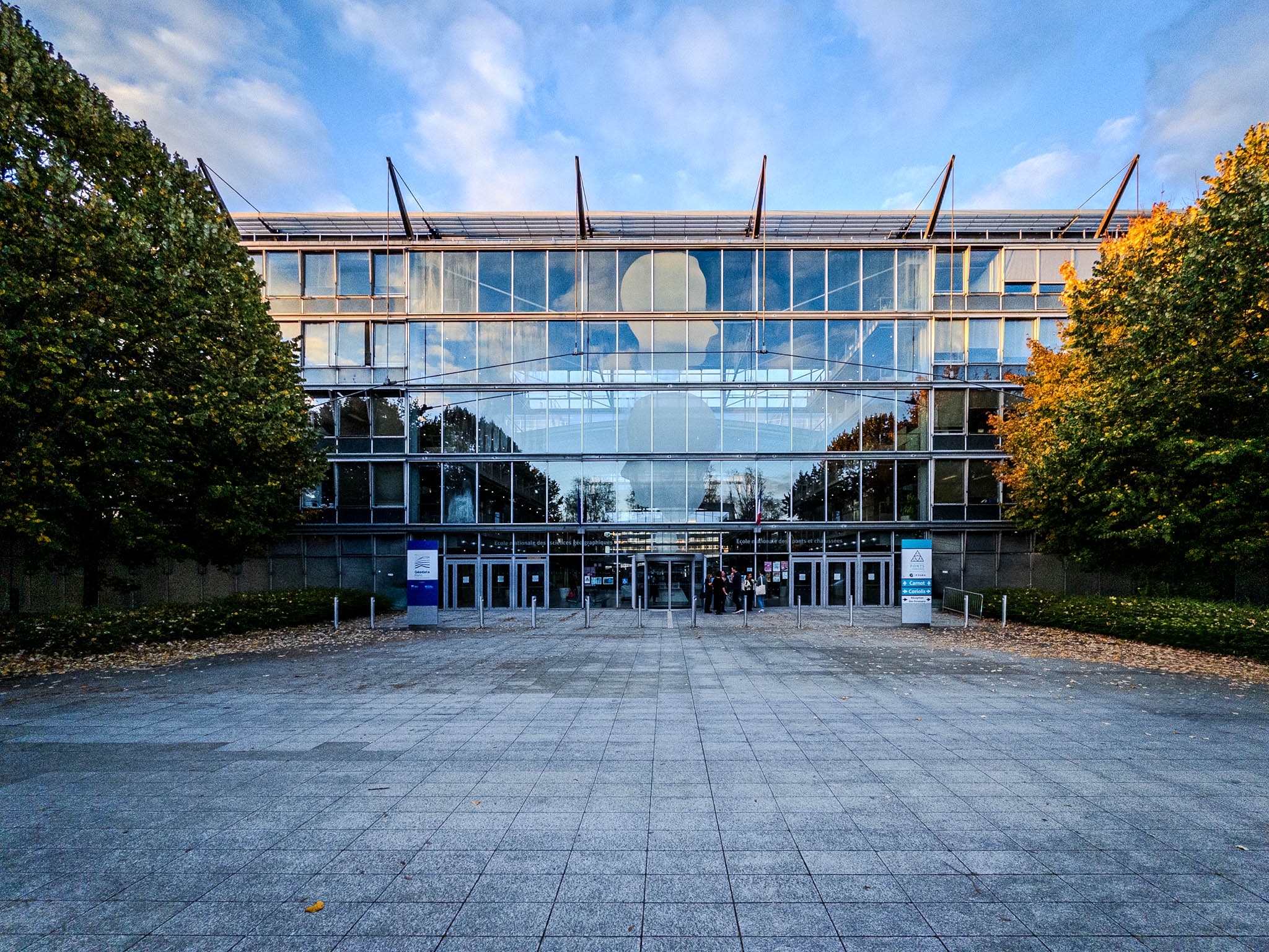
6–8 Av. Blaise Pascal · 77420 Champs-sur-Marne ·
maxim.spur@ign.fr
Associate Professor at Géodata Paris / Université Gustave Eiffel
Member of the GEOVIS research team at LASTIG
Maître de conférences à Géodata Paris / Université Gustave Eiffel

Research Interests
Sujets de recherche
immersive geovis
trajectory lenses

Experience
Parcours professionnel
Associate Professor
Maître de conférences
Teaching computer science, visualization, human-computer-interaction, and geomatics. Research on immersive geovisualization.
Enseignement de l’informatique, de la visualisation, de l’interaction humain-machine et de la géomatique. Recherche sur la géovisualisation immersive.
September 2026 – Present
Septembre 2026 – Aujourd’hui
Postdoctoral researcher
Chercheur postdoctoral
Worked on immersive visualization of origin-destination and trajectory data within the PEPR MOBIDEC project.
Recherche sur la visualisation immersive de données origine-destination et de trajectoires dans le cadre du projet PEPR MOBIDEC.
October 2025 – August 2026
Octobre 2025 – Août 2026
Postdoctoral researcher
Worked in the COMMEDIA team on VR and immersive geovisualization projects related to the analysis and perception of the night sky (Noz Breizh project), as well as VR and AR prototypes of coastal areas.
January 2024 – October 2025
Postdoctoral researcher
Research work at the Scene Grammar Lab to investigate the acquisition of artificial scene grammar and spatial relations using immersive environments, as well as the perception of time inside metro stations.
July 2021 – December 2023
Research assistant (Ph.D.)
Doctoral research on immersive geovisualization at the Architectural and Urban Ambiances Lab (CRENAU). Developed and evaluated methods to visualize multilayered and multi-scale urban data.
April 2017 – March 2021
UX Lead and research assistant
Led UX and evaluation work on a mobile crowdsourcing platform, including statistical analysis of user and perceptual quality studies.
February 2016 – February 2017
Education
Centrale Nantes
PHD in Urban Design and Planning
Sciences pour l'ingénieur doctoral school — immersive visualization of multilayered geospatial urban data
2017 – 2021
Technische Universität Berlin
M.Sc. in Computer Engineering
Focus on multimedia, computer graphics, signal processing, human-computer interaction, and quality/usability
2013 – 2015
Technische Universität Berlin
B.Sc. in Computer Engineering
Foundations in mathematics, computer science, and electrical engineering
2008 – 2013
Publications
Journals
National Journals
Other Journals
International Conferences
National Conferences
Communications
Books and Chapters
Edited Volumes
Posters
Others
Dissertations
Invited Talks
Popularization
Other research activities
Software development
Développement logiciel
Geometric Visibility Lab
An interactive teaching tool for geometric visibility, shadows, and sampling in 2D and 3D.
Un outil pédagogique interactif pour explorer la visibilité géométrique, les ombres et l’échantillonnage en 2D et en 3D.
Teaching
Teaching activities across engineering and graduate programs in France and Germany.
- Project-based engineering teaching in computer science and virtual reality.
- Course supervision and practical classes for immersive and software-oriented topics.
- Graduate-level workshops in virtual reality experimentation and eye tracking.
- Teaching support for perceptual studies and experimental workflows in immersive contexts.
- Teaching in geospatial engineering and programming for engineering students.
- Immersive urban data visualization within multidisciplinary project curricula.
Other research activities
- Journée Visu 2026 — Local organizer
- IEEE ISMAR 2017 Nantes — Student volunteer
Reviewing
Awards