 GEOVIS
Visualization, Interaction and Immersion
Visualisation, Interaction et Immersion
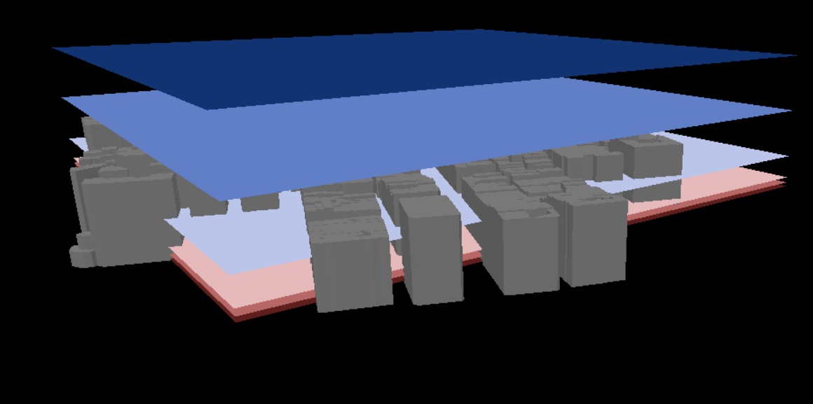
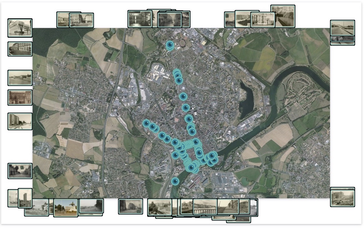
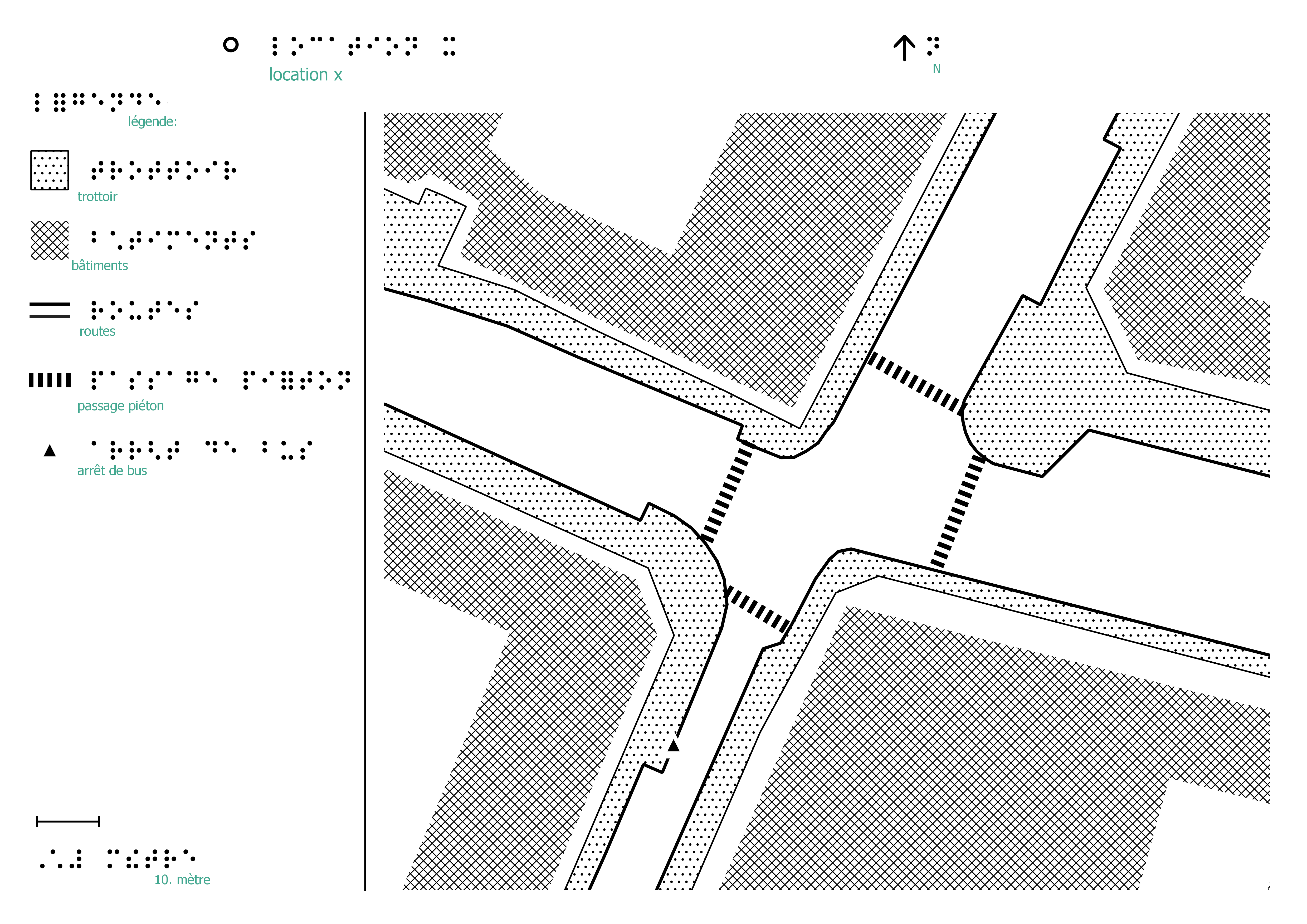
GEOVIS is a team of LASTIG that aims to provide geovisualization knowledge, methods and tools allowing various users to design graphic representations of spatio-temporal phenomena, and to infer spatio-temporal knowledge from the interaction with some dimensions of a phenomenon, based on spatial data (maps, imagery, 3D models, DTM, point clouds, etc.) and external data (texts, photographies, web data, thematic data, etc.). The heterogeneity (source, scale, content, precision, dimension, temporality) and the imprecision of these data and represented phenomena imply to address geovisualization issues encompasses cartography, GIS, InfoVis, HCI, computer graphics and image processing.
GEOVIS fait partie du LASTIG et a comme objectif de fournir des connaissances formalisées, méthodes et outils de géovisualisation permettant à des utilisateurs variés, de concevoir des représentations graphiques de phénomènes spatio-temporels, sur lesquelles raisonner spatialement et temporellement, en leur permettant d'interagir avec une ou plusieurs dimensions du phénomène, à partir de données géographiques (cartes, imagerie, modèles 3D, modèles numériques de terrain, nuages de points, etc.) et de données externes spatialisées (textes, photographies, données du web, données thématiques, etc.). L’hétérogénéité (source, échelle, contenu, précision, dimension, temporalité) et l'imprécision de ces données comme des phénomènes représentés, impliquent de résoudre des problématiques de géovisualisation, en particulier cartographie, SIG, Visualisation d'Informations, Interaction Homme-Machine, informatique graphique et traitement d'images.